UN
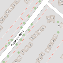
103 Segrave Road
£ 135,500
Description
We don't have a Description for this property.
- Bedrooms
- 3
- Bathrooms
- 0
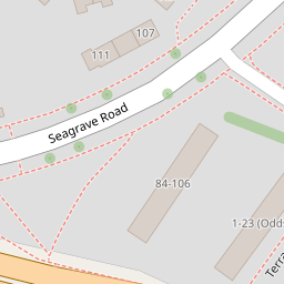
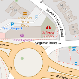

Leaflet © OpenStreetMap contributors
The heatmap indicates the level of crime in the area. The color of the heatmap indicates the crime severity and recency.
Metrics Year-on-Year
- Average area value
- 302,556.00 £Increased by 11.90 %
- Average area rental value
- 984.00 £/moDecreased by 11.27 %
- Est rental Yield
- 3.90 %Decreased by 20.73 %
- Crime Rate
- 4.00 %Unchanged by 0.00 %
from 270,382.00 £
from 1,109.00 £/mo
from 4.92 %
from 4.00 %
Nearby Schools
| Name | Type | Ofsted | Distance |
|---|---|---|---|
| Montpelier Primary School | Academy Converter | Good | 0.65 KM |
| Scott Medical And Healthcare College | Studio Schools | Good | 0.74 KM |
| Stoke Damerel Community College | Academy Converter | Requires improvement | 0.75 KM |
| Devonport High School For Girls | Academy Converter | Good | 0.91 KM |
| Sure Start Lark Children'S Centre | Children's Centre | 1.03 KM |
Images
Nearby Streets
| Name | Average Price | Average Sqft | Distance |
|---|---|---|---|
| Elmcroft | £ 0 | 0 | 0.00 KM |
| Dingle Road | £ 0 | 0 | 0.00 KM |
| Allenby Road | £ 175,000 | 0 | 0.00 KM |
| Lyndhurst Close | £ 370,000 | 0 | 0.00 KM |
| St Boniface Drive | £ 0 | 0 | 0.00 KM |
Nearby Transport
| Name | NLC | TLC | Distance |
|---|---|---|---|
| Devonport | 3579 | DPT | 1.72 KM |
| Plymouth | 3580 | PLY | 2.01 KM |
| Dockyard (Devonport) | 3588 | DOC | 2.04 KM |
| Keyham | 3571 | KEY | 2.35 KM |
| St Budeaux Ferry Road | 3590 | SBF | 3.48 KM |
Nearby Listings
| Address | Price | Type | Score | Distance |
|---|---|---|---|---|
| Segrave Road, Plymouth, PL2 3EP | £ 220,000 | BUY | Unknown | 0.01 KM |
| Pilgrim Close, Plymouth, Devon, PL2 | £ 500,000 | BUY | 7 / 10 | 0.06 KM |
| Pilgrim Close, Milehouse, Plymouth | £ 375,000 | BUY | Unknown | 0.08 KM |
| Furneaux Avenue, Milehouse | £ 210,000 | BUY | 5 / 10 | 0.09 KM |
| Uxbridge Drive, Plymouth, Devon, PL5 | £ 230,000 | BUY | 7 / 10 | 0.10 KM |
Nearby Properties
| Address | Price | Distance |
|---|---|---|
| 72 Segrave Road | £ 155,000 | 0.00 KM |
| 66 Segrave Road | £ 155,000 | 0.00 KM |
| 103 Segrave Road | £ 135,500 | 0.00 KM |
| 105 Segrave Road | £ 135,000 | 0.00 KM |
| 70 Segrave Road | £ 84,000 | 0.00 KM |